Author: Abdul Wahab
-

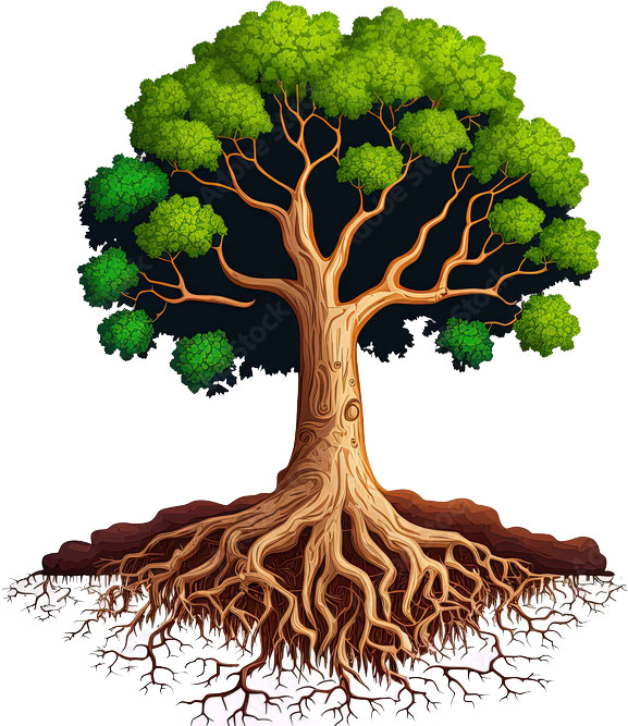
Roots
The roots of a plant are its most essential parts. They grow in different patterns downward in the soil as compared to the plant’s stem and leaves. They store and provide water and nutrients from the soil, then transport them throughout the plant. Besides, they also help the soil to […]
-

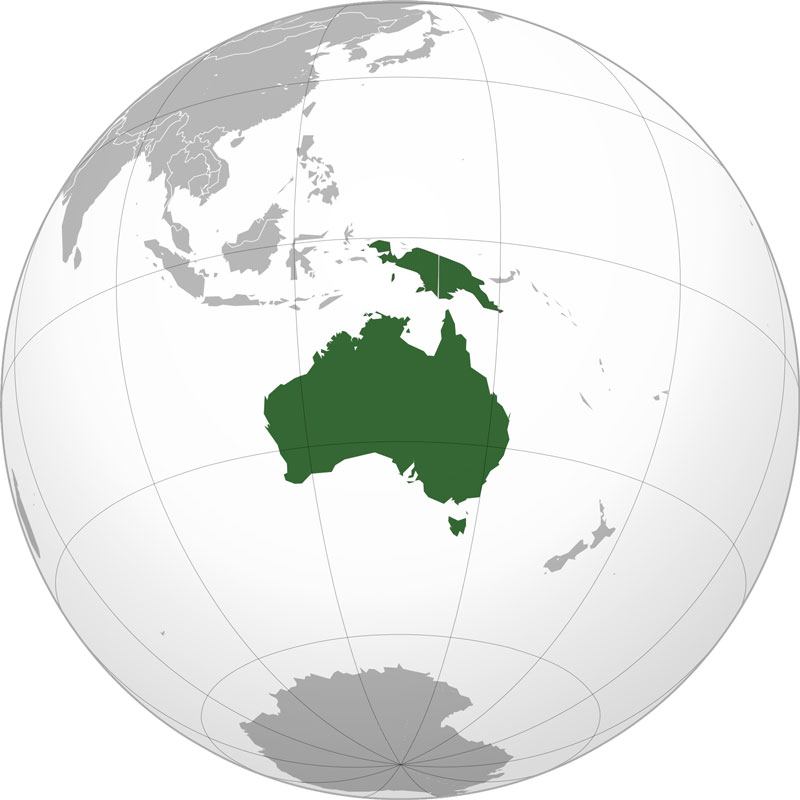
Australia
Australia is the smallest continent and is a part of a large geographic region called Oceania. It is isolated from other continents and is surrounded by Ocean. Australia’s west is bordered by the Indian Ocean and its east is bordered by the Pacific Ocean. There are several nearby islands countries […]
-

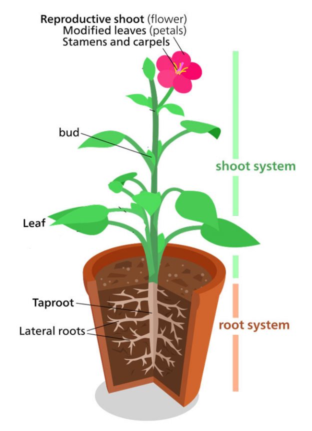
Plant Structure
There is a large variety of plants with different sets of structures. However, these plants can be categorized into vascular plants and non-vascular plants. Vascular plants have a system of special tissue called the xylem and phloem. These tissues transport water and other nutrients throughout the plant. You can consider […]
-

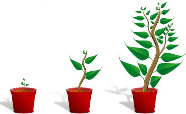
How Plants Grow
Plants are the most important part of our ecosystem which are found in almost every part of the Earth. They are found in oceans, deserts, mountains, plains, and also in other harsh environments. No matter where the plant lives, they all grow in a somewhat similar manner. There are around […]
-

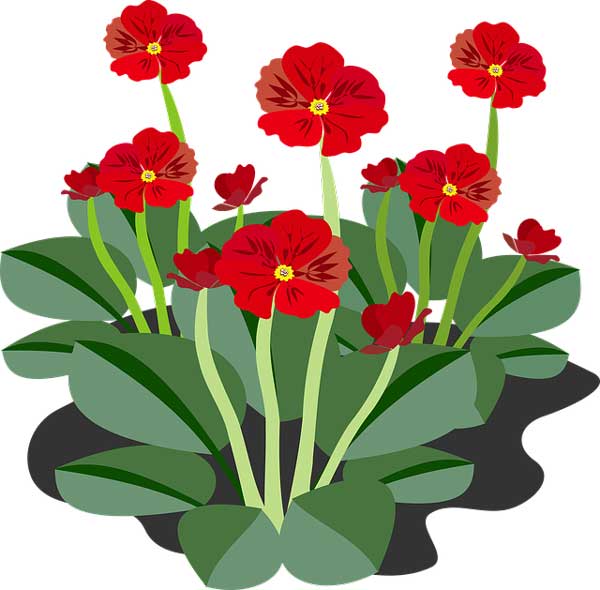
Flowering Plants
The plants which can produce flowers are called flowering plants. These plants fall under the category of vascular plants. These plants can transport water and nutrients throughout their different parts. Vascular plants transport nutrients and water with the help of special tissues; xylem and phloem. There is a separate scientific […]